Nebraska Highway 12 Wetland Delineation

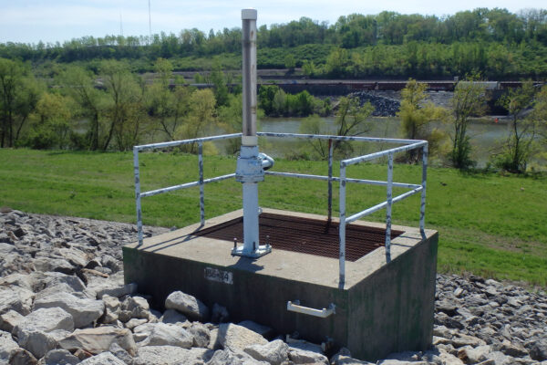
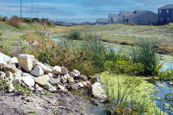
Nebraska Highway 12, near the town of Niobrara, runs parallel to the Missouri River. The distance between the highway and the bank of the river is only 2,000-3,000 feet in some areas, with standing water covering much of the area between the highway and the river. Water levels in the area have been rising due to the silting of the river, resulting in periodic highway flooding.
Benesch assisted the Nebraska Department of Transportation (NDOT) in the wetland delineation and section 404 permit for two proposed alignments for Highway 12. The NEPA environmental review requires that several alternatives be evaluated. Benesch deployed three teams of two to survey wetlands and waterways along two different proposed alignments. Each alignment was approximately 13 miles long. Field crews surveyed for five weeks to complete delineation. Findings were documented in a wetland delineation report.
Benesch also assisted NDOT in planning and roadway design. Benesch prepared conceptual designs for 12 miles of rural highway to be raised an average of eight feet. Other services that Benesch provided included a hydrology and hydraulics study and geotechnical exploration to provide recommendations for subbase stabilization.
Services
Awards
- 2023, Merit Award & Category Winner, American Council of Engineering Companies - Nebraska
Share
Related Projects

Bristol Memorial Boulevard Intradistrict Arts Magnet School
Marlatt Waterway Restoration
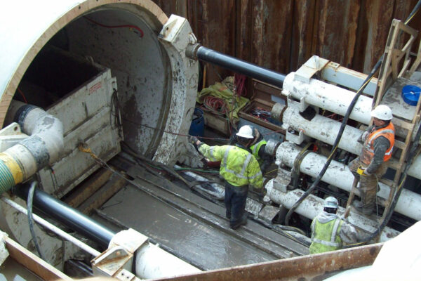
Water Main Replacement, Phase 1
Cedar Pointe
Advance Utilities Relocation on Wacker Drive
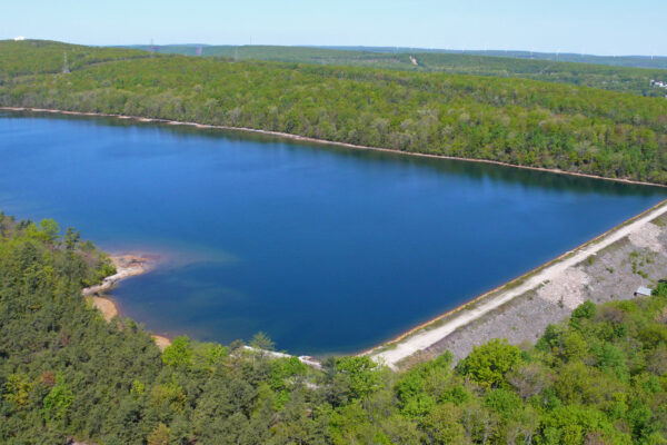
Mount Laurel Dam
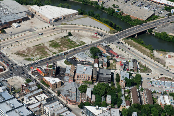
Utility Design at the Damen, Elston, Fullerton Intersection

Stearns Road Corridor
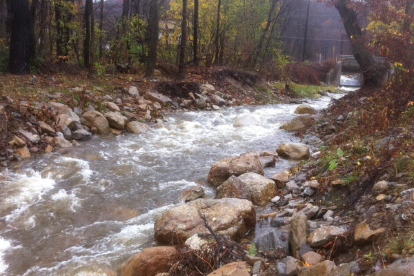
Schuylkill River West Branch Headwaters Restoration