6923 Canton West Wetland Delineation
Benesch completed a wetland delineation of approximately eight miles of US-18 in Lincoln County, South Dakota, for a reconstruction and widening project, including grading and interim surfacing, adding two lanes, structure replacement and lighting. The project also involved the preparation of wetland delineation reports, functional classification, Jurisdictional Determination requests, wetland impact calculations and reporting, and wetland mitigation requirements based upon the Functional Capacity Units.
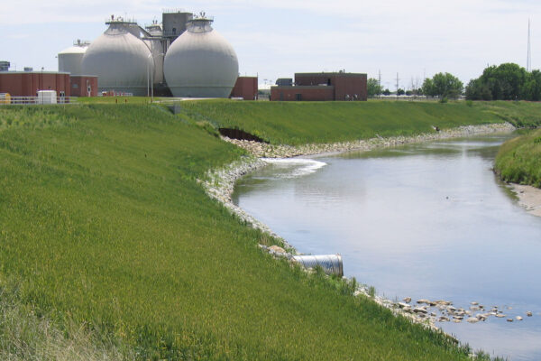
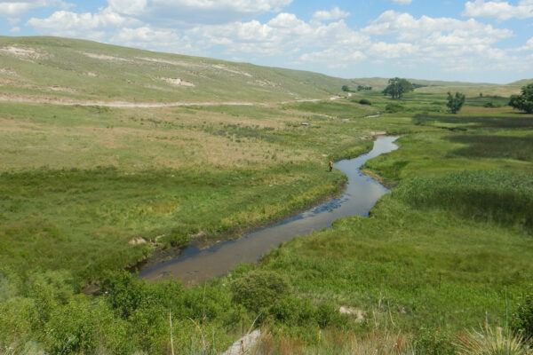
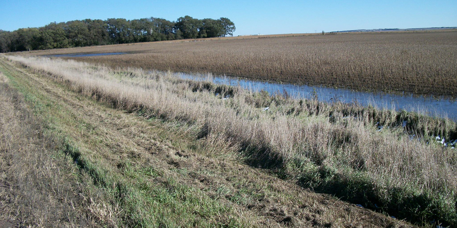
During the field investigation, Benesch biologists identified 35.07 acres of wetlands within 49 wetlands. These wetlands were observed in three common areas along stream channels or swales, isolated depressions and within US-18 road ditches. Wetlands consisted of Palustrine Emergent Temporarily Flooded (PEMA), Palustrine Emergent Seasonally Flooded (PEMC), Palustrine Emergent Permanently Flooded (PEMF), Palustrine Unconsolidated Bottom Intermittently Exposed (Excavated) (PUBGx), or Palustrine Forested Temporarily Flooded (PFOA). Each wetland’s jurisdictional status was assigned and confirmed by submitting a Jurisdictional Determination request to the Corps of Engineers.
Wetland functions for Prairie Pothole, riverine and slope wetlands were assessed using the HGM approach using established field protocols. This assessment required field data collection as well as computer software such as ArcView. The wetland assessment Functional Capacity Indices (FCI) was determined for each wetland. Next, Benesch calculated permanent and temporary impacts and determined a corresponding Functional Capacity Unit (FCU) for that wetland. Finally, a mitigation needs assessment memo was prepared to determine the quantity and availability of FCUs to offset impacts from the project.