Lincoln South Beltway EIS Study
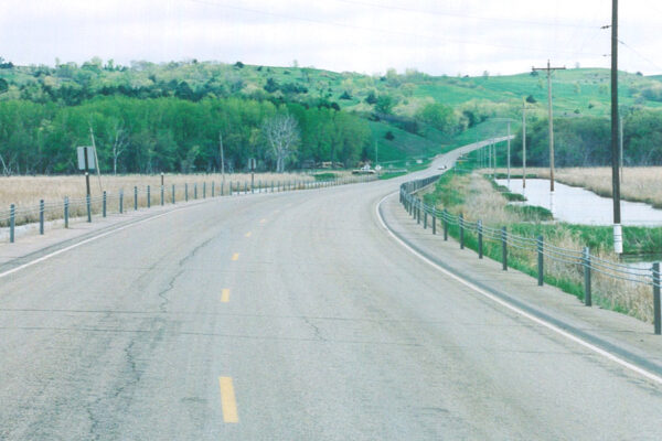
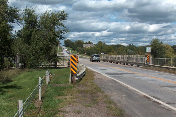
Following an EIS to study the possibility of constructing a beltway around the south side of Lincoln, Nebraska, Benesch was selected by the City of Lincoln, Lancaster County and the Nebraska Department of Transportation (NDOT), in cooperation with the Federal Highway Administration, to complete the Environmental Assessment, preliminary and final design for the Lincoln South Beltway Project.
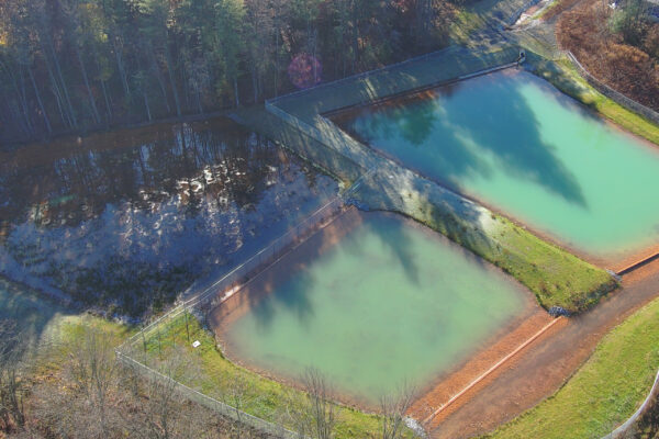
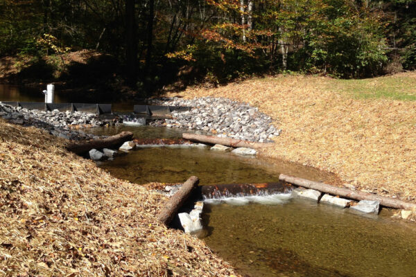
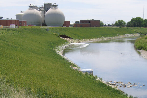
As part of the project, Benesch assisted the NDOT with Section 404 mitigation requirements by developing a plan and design to restore an on-site channel, reestablish 4.7 acres of riverine channel wetlands and reestablish and rehabilitate 12 acres floodplain depressional wetlands within the floodplain of the Salt Creek. Benesch completed the ORM form for the water resources and impacts tab for this project.
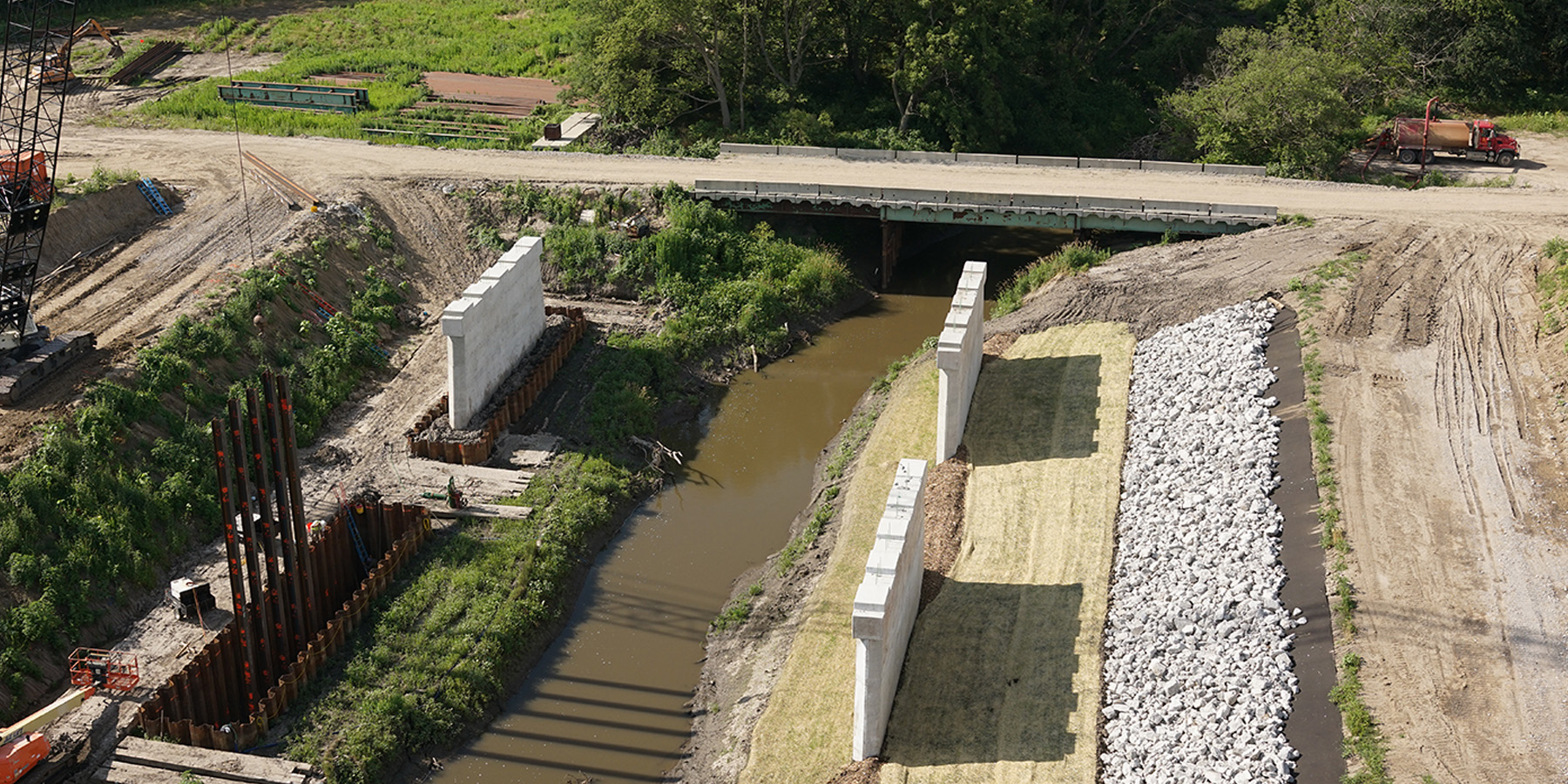
The stream restoration consisted of realigning an unnamed tributary to Salt Creek to its 1949 alignment and recreating a floodplain terrace on each side of the channel. A farm crossing culvert was also removed from the channel. The restored channel was revegetated with native emergent and woody vegetation, creating a 220-foot-wide riparian corridor. A soil erosion analysis was completed for the proposed stream bed. The study found that based on the soil types, proposed stream slope and compaction, and existing stream velocities, protection of the stream bed for stability purposes was not necessary.
Bank protection in the form of Turf Reinforcement Mat (NDOT-TRM-2C)—which can withstand shear stress of up to 12 pounds per square foot—and willow stakes on five-foot centers were placed at two locations to protect the existing banks and prevent stream migration or bank erosion at two existing homesteads adjacent to the mitigation site. Additionally, temporary erosion control material is proposed for the newly graded channel bed and bank using hydro mulch. The stream terrace and bank to the historic floodplain will also be protected after seeding with hydro mulch.
Benesch is currently monitoring the stream and wetland mitigation site to determine if the wetland types and stream restoration are successful. Five transects and associated sample points were established during the monitoring event to document wetland development and to establish regular sampling locations to be utilized throughout site monitoring. A total of 37 sample points were used to determine wetland characteristics and monitor the buffer strip. Groundwater piezometers with automatic water level loggers were utilized to determine subsurface and surface flooding at the site.
Practice Areas
Services
Share
Related Projects
Missouri Avenue & Spring Lake Park Restoration
Minatare Wetland Delineation
Nebraska Highway 12 Wetland Delineation

Residences at Main Street
Wetmore Run Dam Feasibility Study & Improvements
Environmental Management Assessment & Performance Program
Kauffman Dam
168th Street
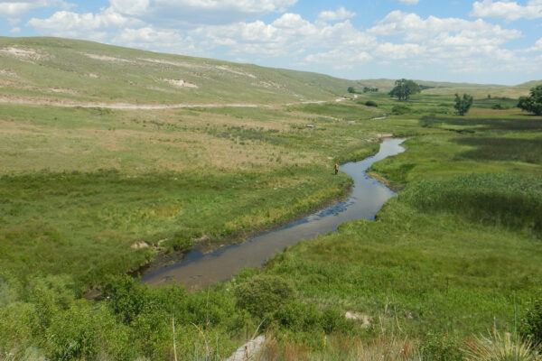
Salt Creek Watershed