SR 40 – Downtown Ocala
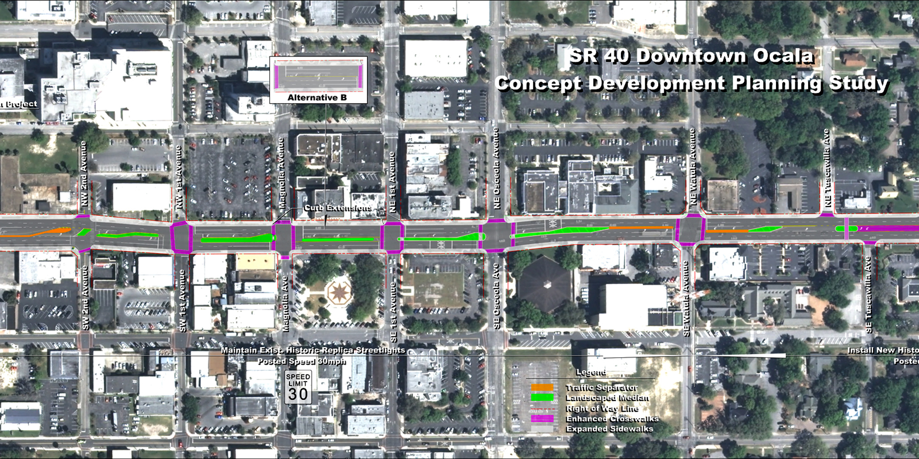
SR 40 (Silver Springs Blvd) is a state-maintained corridor that extends from US 41 on the west, near Dunnellon, to SR A1A on the east in Ormond Beach. It bisects downtown Ocala and provides the major east-west movement through the City of Ocala and across Marion County. The County has the highest number of horses and ponies in residence in America, and its economy is largely supported by this industry and its need for goods and services and the freight movement thereof.
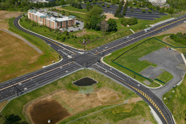
This study focused on developing potential solutions to establish a more walkable urban environment along a 0.65-mile section of SR 40/Silver Springs Blvd, utilizing a complete streets approach appropriate to the heart of Downtown Ocala. The study sought to balance the needs of all users, including freight, so that the use of SR 40 as a major east-west arterial was maintained.
Benesch studied existing conditions, safety hazards and corridor challenges and developed alternative concepts and safety improvements. All proposed improvements utilized the existing right of way, which presented a challenge in that the western portion of the study corridor was fairly constrained. All of the concepts were presented to the public for input through two public meetings.
The final product was the creation of a Corridor Development Plan, which identified a series of multimodal improvements to be phased over time. These alternative improvement concepts were developed and evaluated in sufficient detail to support scoping efforts to advance the improvements into the design phase. Recommendations from this study have been embraced by both the Department and the community. Improvements detailed in the study have been constructed at the corridor’s western end, while improvements to the east end of SR 40 are currently under design.
Related Projects
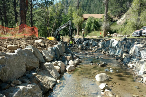
Fourmile Canyon Flood Recovery
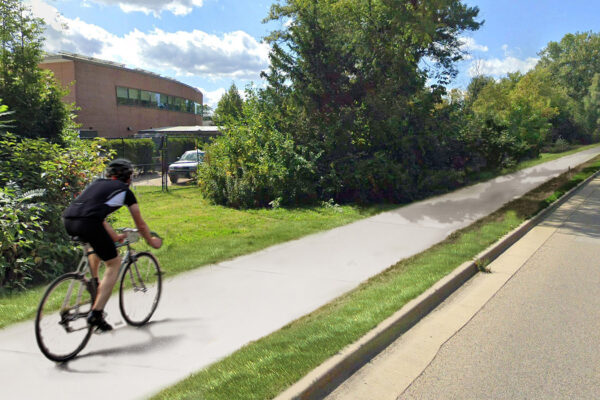
Lake Cook Road Bike Path
SR 322, Section 100 Corridor Improvements & Widening
West Waukesha Bypass
33rd Street & Sheridan Boulevard Roundabout
Lincoln South Beltway EIS Study
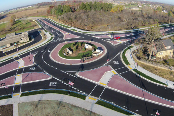
39th Avenue Roundabout
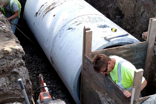
11th Street Water Main Replacement
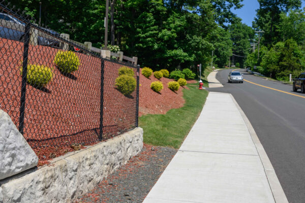
Willowbrook Road