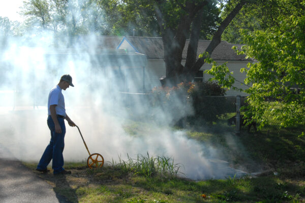
Flood Response Planning
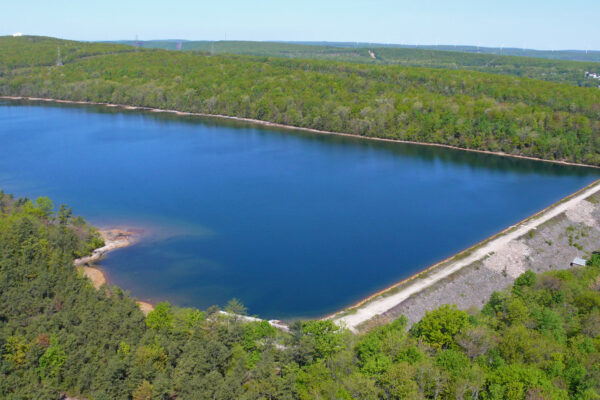
Flood protection for the Unified Government (UG) is provided by an ever-increasingly complex system of levees, seepage wells, pump stations, flood gates and interior drainage structures. Since this infrastructure is owned and maintained by three public agencies, UG, Kaw Valley Drainage District and the Fairfax Drainage District, as well as nearly half a dozen private owners, there was a great need for a comprehensive manual for the operation of this system. The plan serves as a guide to allow city staff to have easy access to the information necessary to manage the increasingly frequent challenges of flood events.
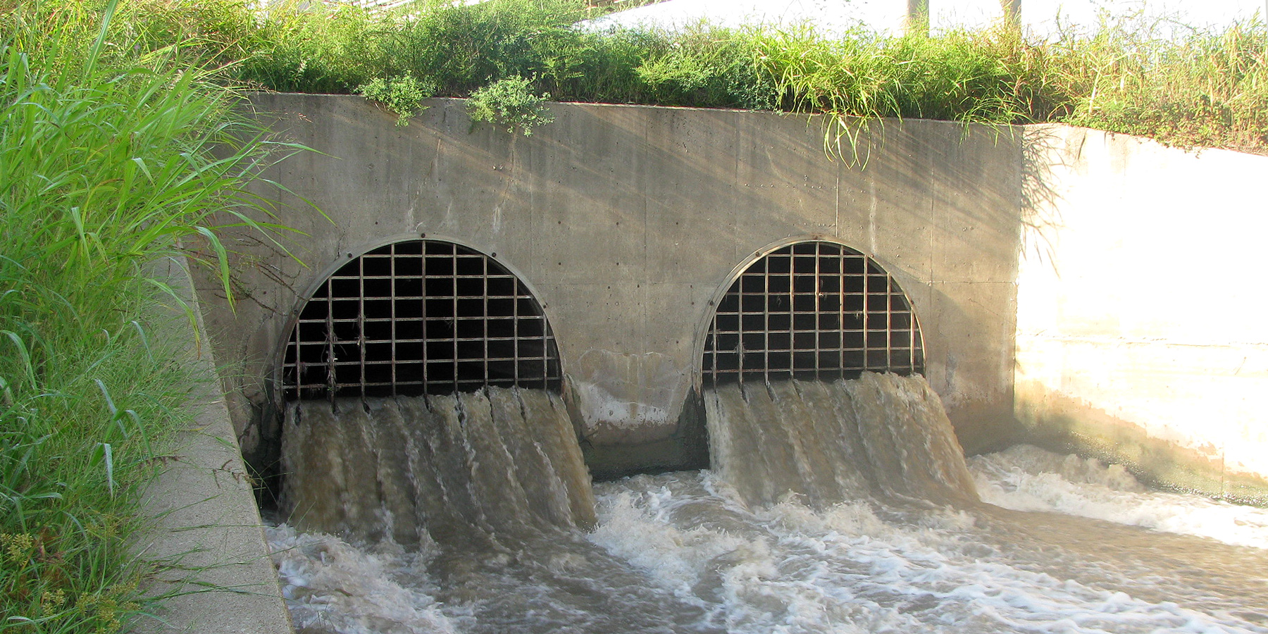
The scope of this project included the identification, inspection and mapping of all infrastructure along nearly 22 miles of levee along both the Kansas and Missouri Rivers in the City. This included identifying the service area (drainage area) for each pump station and gate, identifying any interconnections between the pump stations and/or gates, locating surcharge locations within the service areas, developing Action Levels, reviewing gate closure schedules based on river gage readings, updating existing pump station Operations and Maintenance Manuals, and preparing mitigation plans for power failures, sink holes and other risk factors.
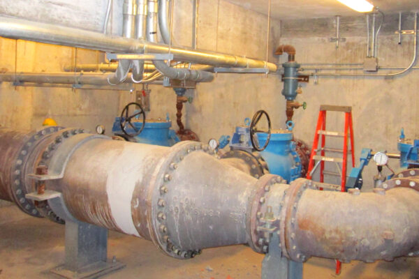
This document was prepared to serve two purposes: to provide an easy guide to flood management and response and to provide a detailed description of each flood control asset and its role in the overall protection system. This portion of the plan was designed to be a straightforward response plan that provides information on gate closures, pump station operations, and information that allows staff to identify the causes of flooding behind the levees during high water events.
Related Projects
Pump Station at 130th Street & Torrence Avenue Grade Separation
Utility Design at the Damen, Elston, Fullerton Intersection
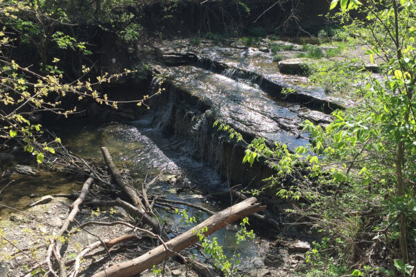
Mount Laurel Dam
Jersey Creek Watershed Combined Sewer Separation Projects
Water Pollution Control Asset Management Program
Chase State Lake Draw Down Tower
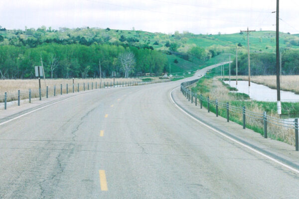
Nebraska Highway 12 Wetland Delineation
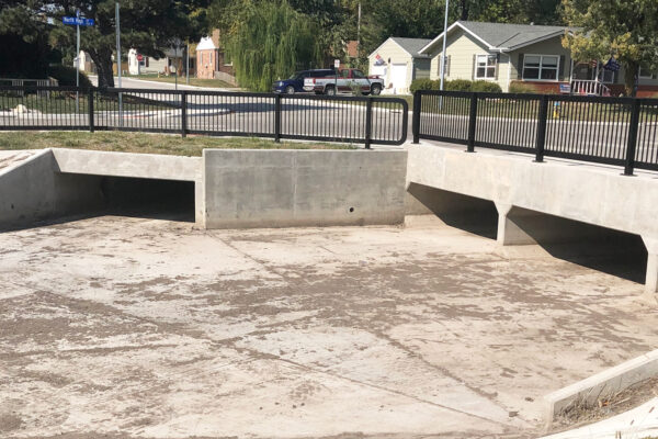
Hulse Area Drainage
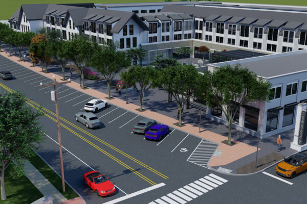
Residences at Main Street