Sidewalks Master Plan
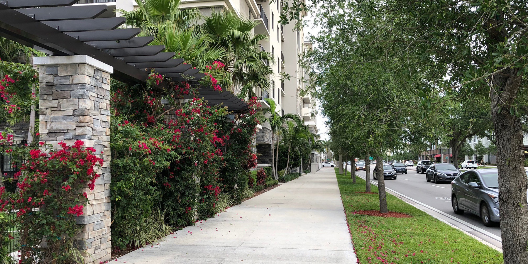
The Sidewalks Master Plan was a data-driven initiative to identify and prioritize sidewalk construction projects citywide and to recommend updates to existing policies governing sidewalk design and implementation. Benesch developed a comprehensive Python-based modeling tool to systematically evaluate sidewalk demand using spatial and demographic data, helping the City determine where investments would have the greatest impact.
The project began with the creation of a citywide sidewalk GIS shapefile developed from LiDAR and other data sources. This dataset formed the foundation for a replicable prioritization tool that evaluated factors such as roadway characteristics, pedestrian exposure, activity generators, land use, transit access and population demographics. Public engagement—including in-person meetings and an online survey—guided the selection and weighting of these prioritization criteria to ensure that the model reflected community values and needs.
The project also included a review of existing City policies, including the Code of Ordinances, Land Development Code and engineering standards, with recommendations for policy changes to strengthen the sidewalk program. ArcGIS Online dashboards were developed to support data visualization and decision-making throughout the planning process.
By implementing this framework, the City became better equipped to allocate current funding effectively and to position itself competitively for future state and federal grants aimed at improving multimodal accessibility and safety.
Related Projects
Tampa Walk-Bike Plan
Jacksonville 2030 Multimodal Transportation Study
Bayshore/Gateway Triangle Redevelopment Area Plan Update
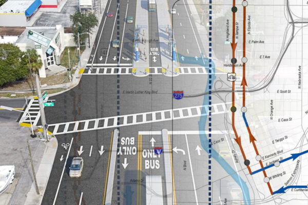
HART Tampa Arterial BRT Study
Alt 19/5th Ave North Safety Stimulus Project
Multimodal Transportation Impact Fee Study
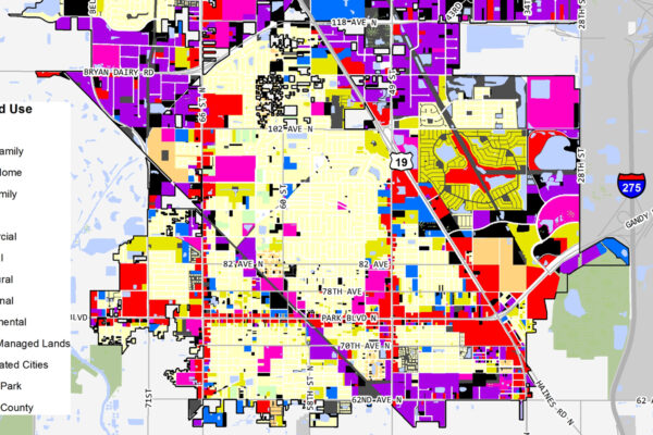
Pinellas Park Comprehensive Plan Update
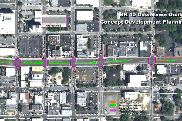
SR 40 – Downtown Ocala

Chicago Riverwalk